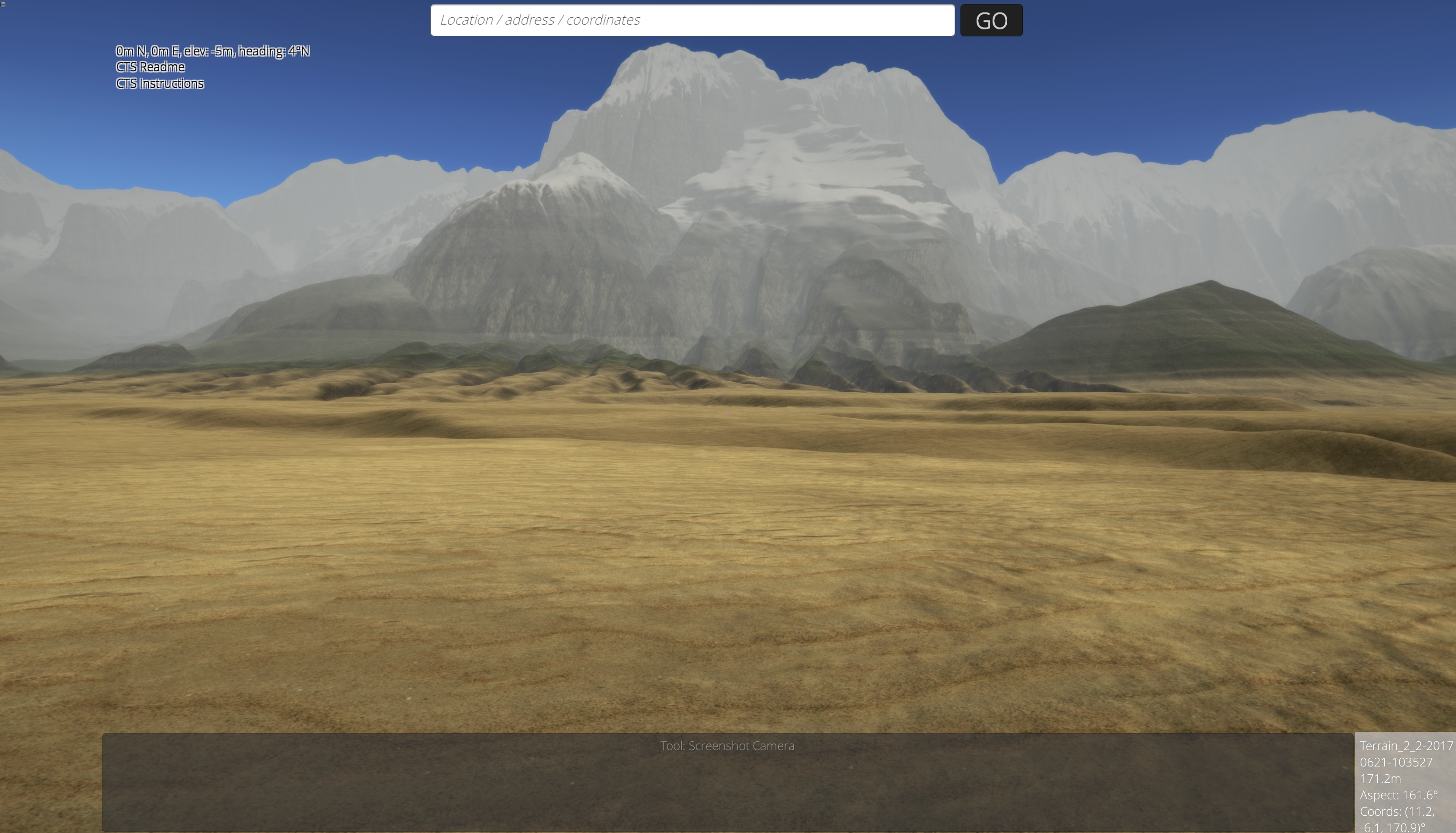
Realtime interactive 3D map and simulation for all
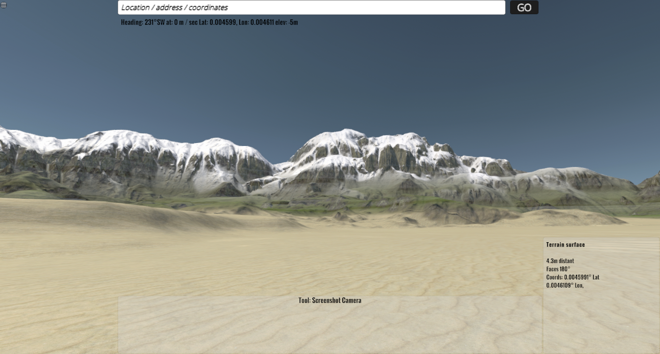
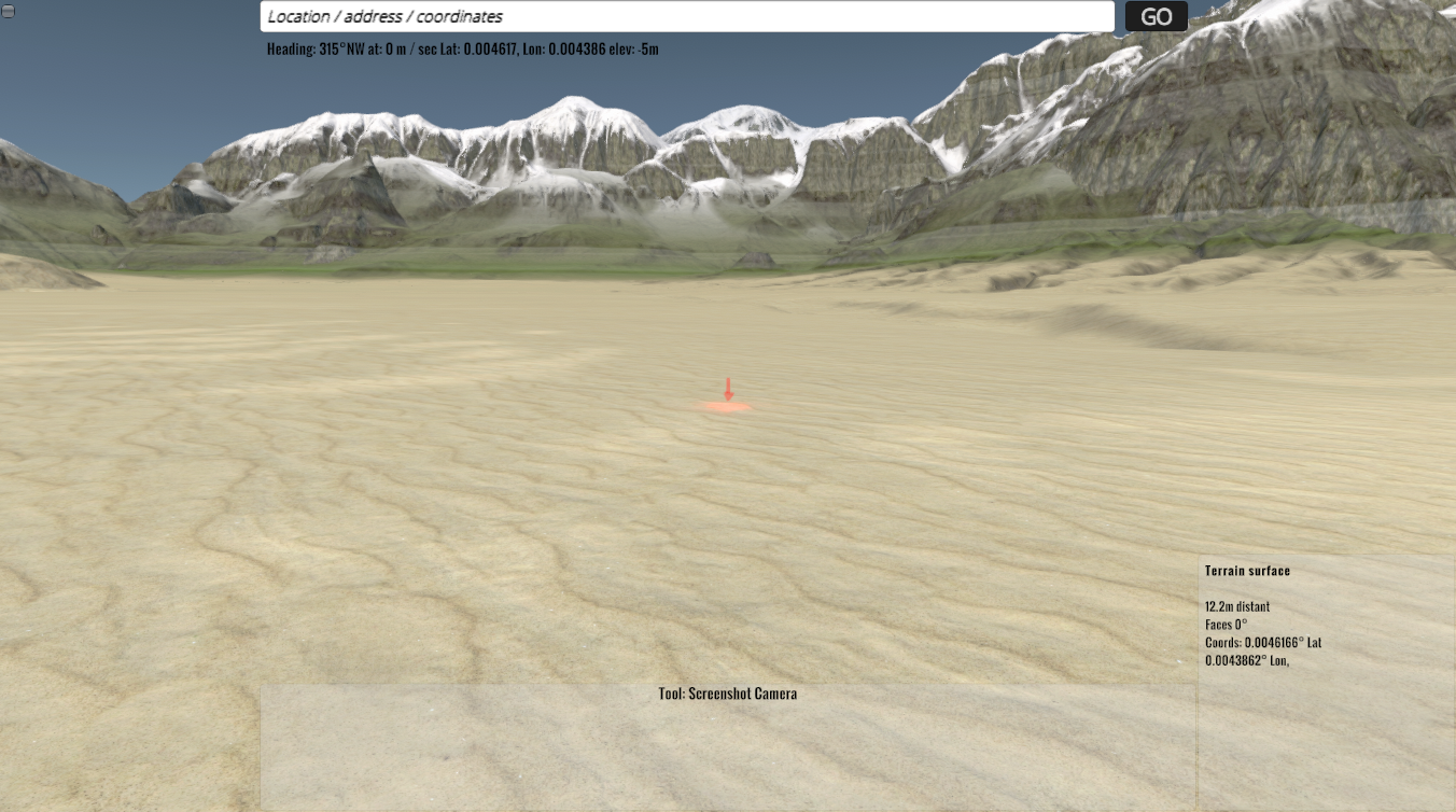
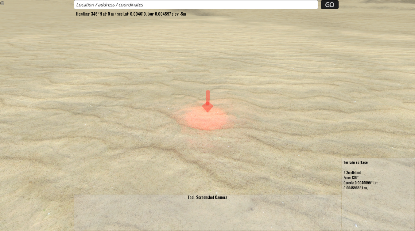
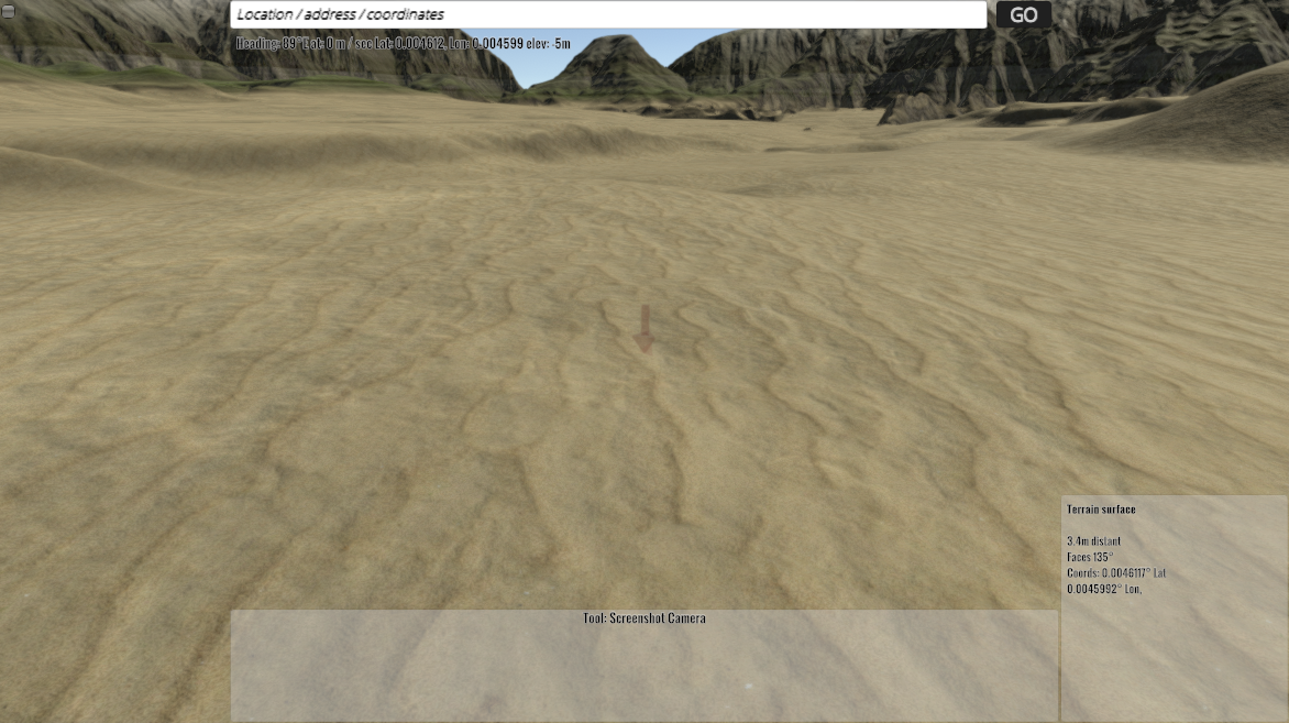
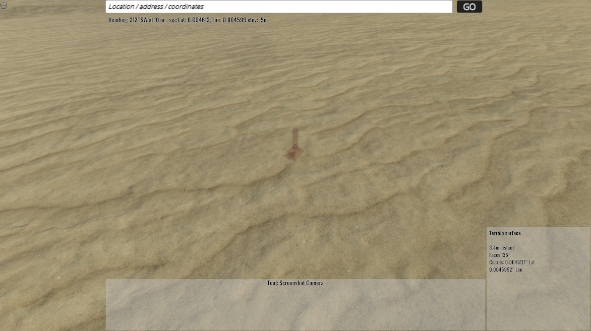
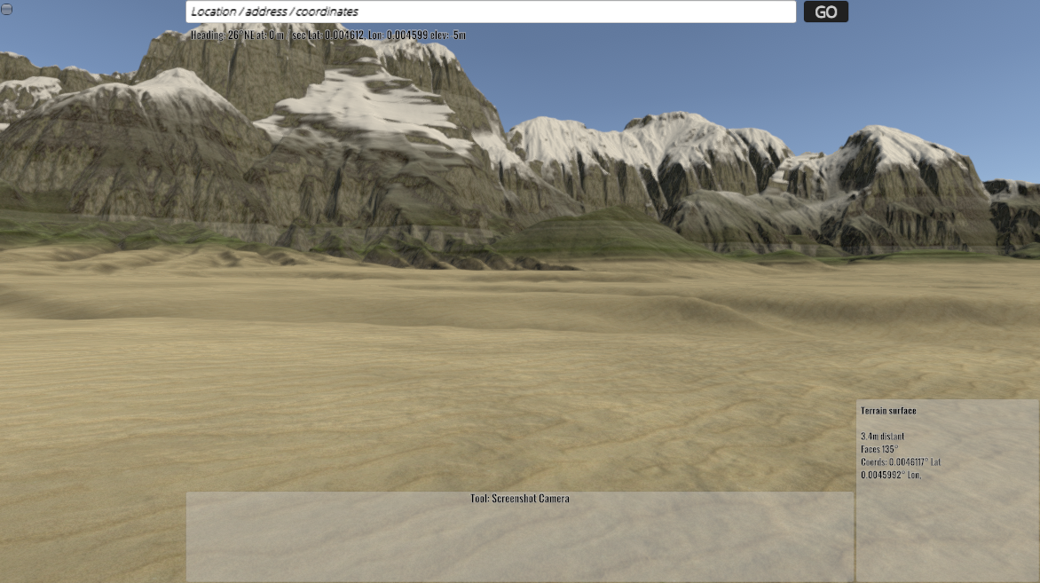
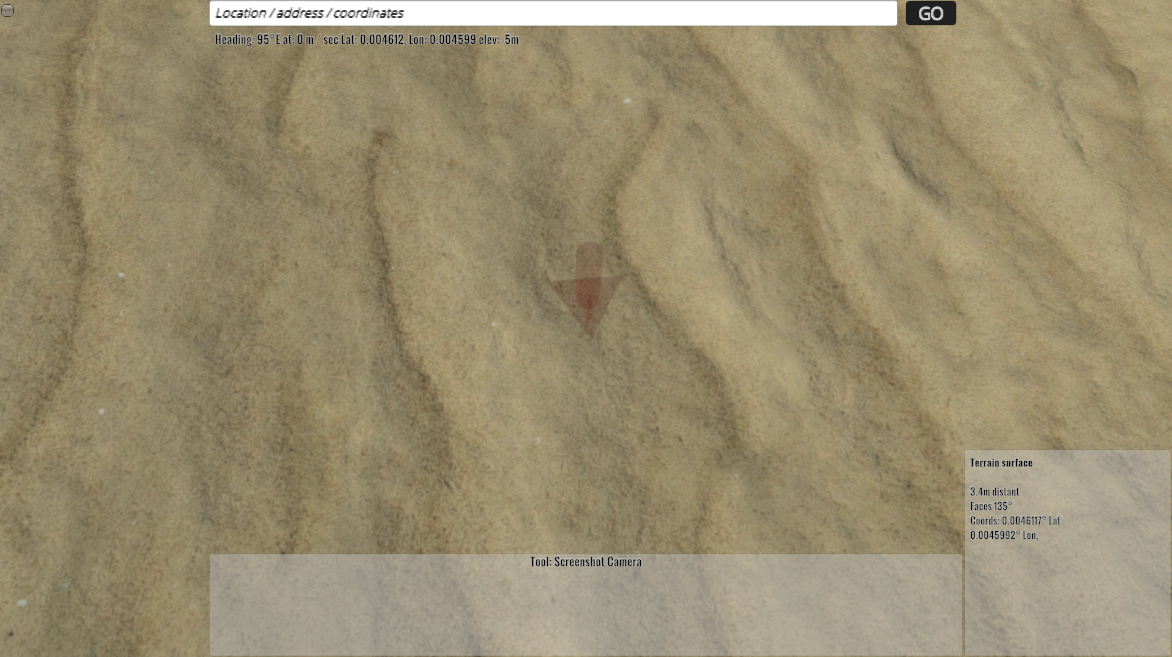
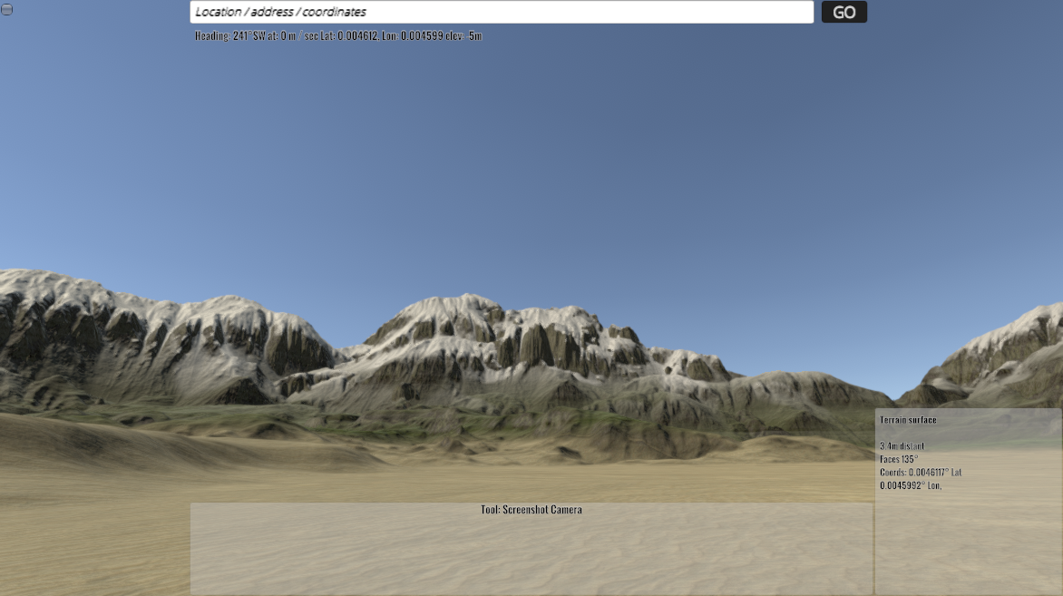
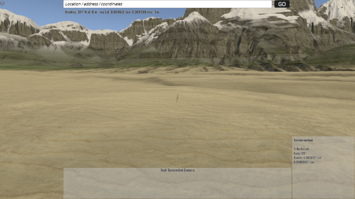
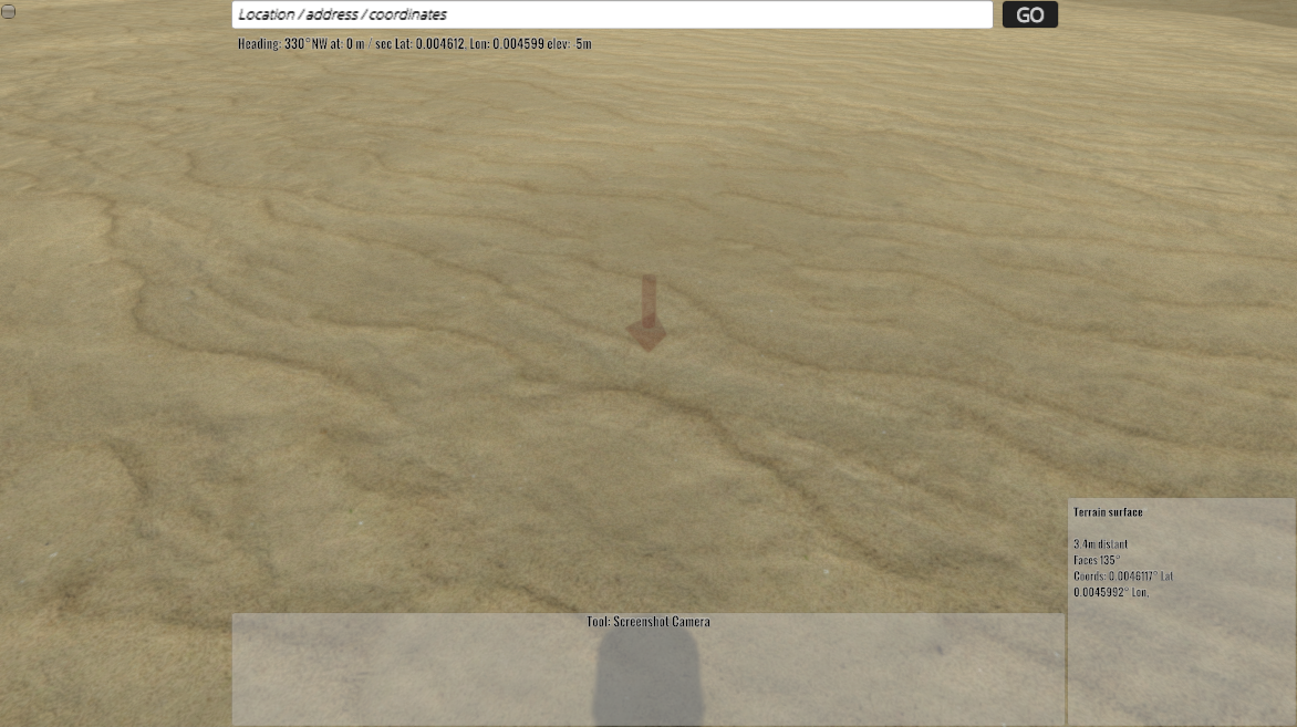
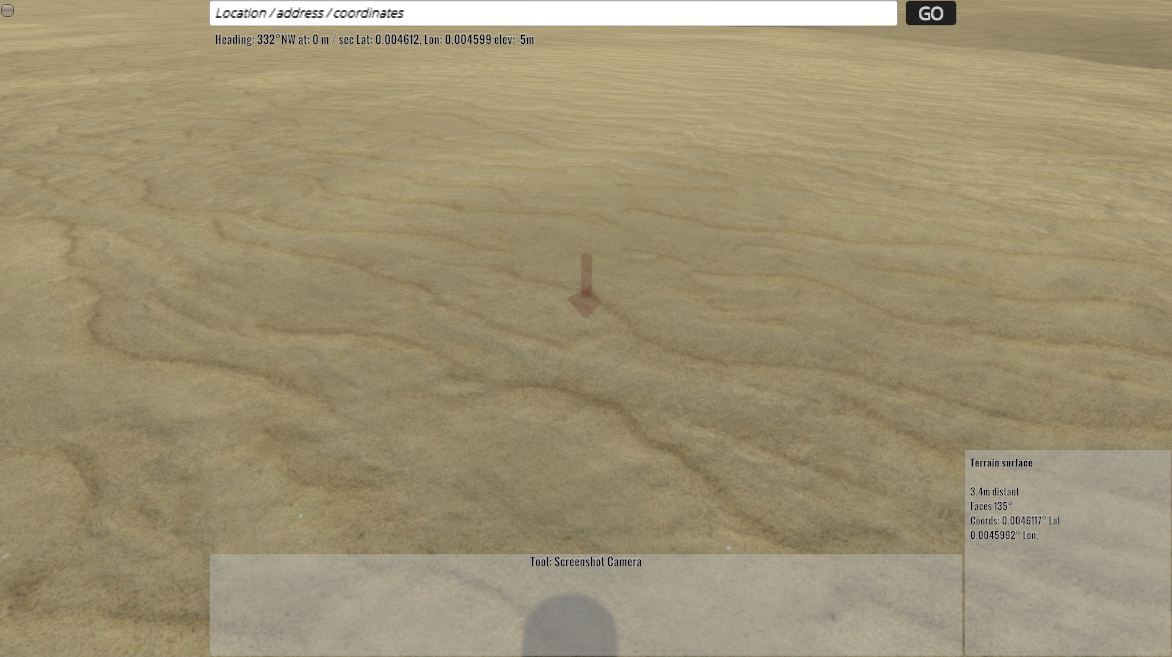
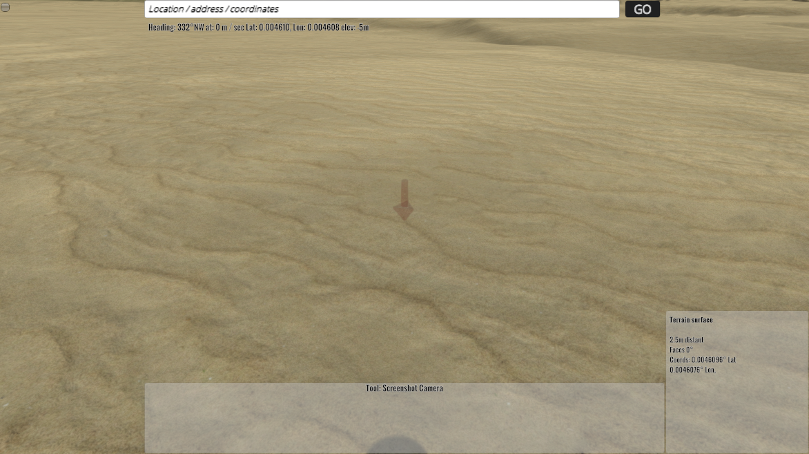
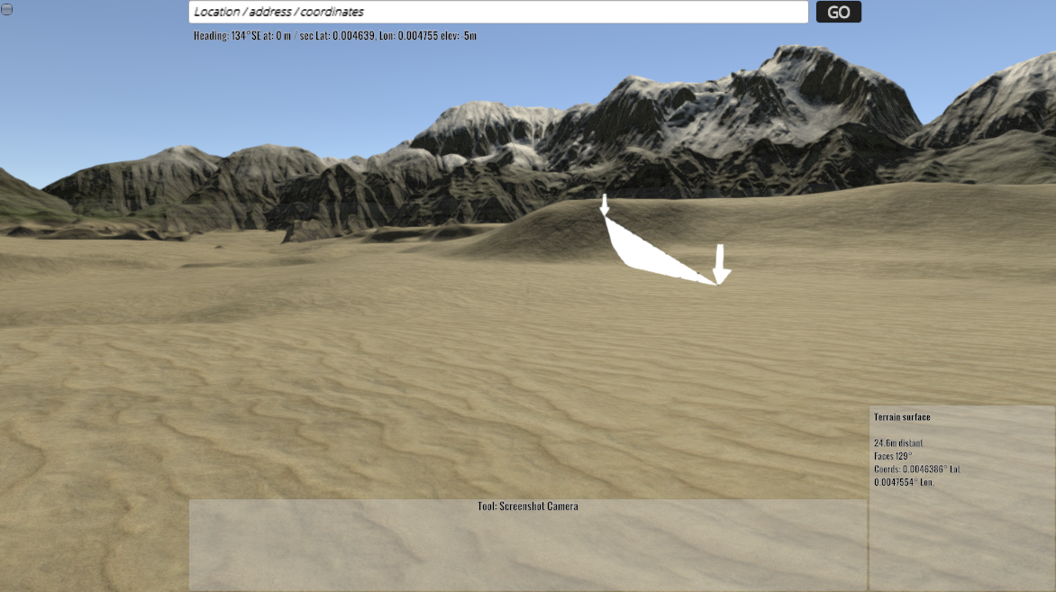
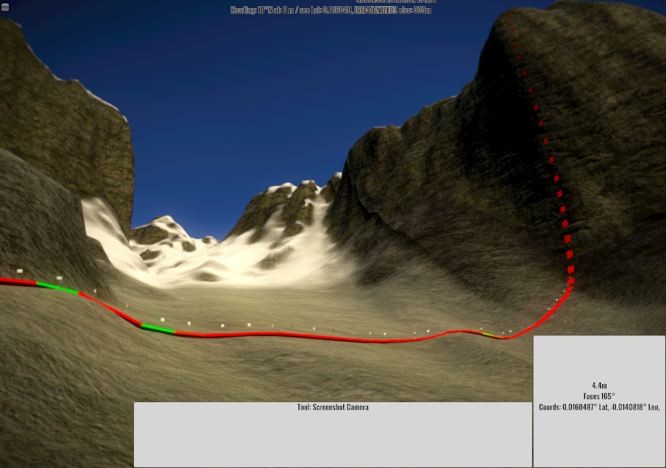
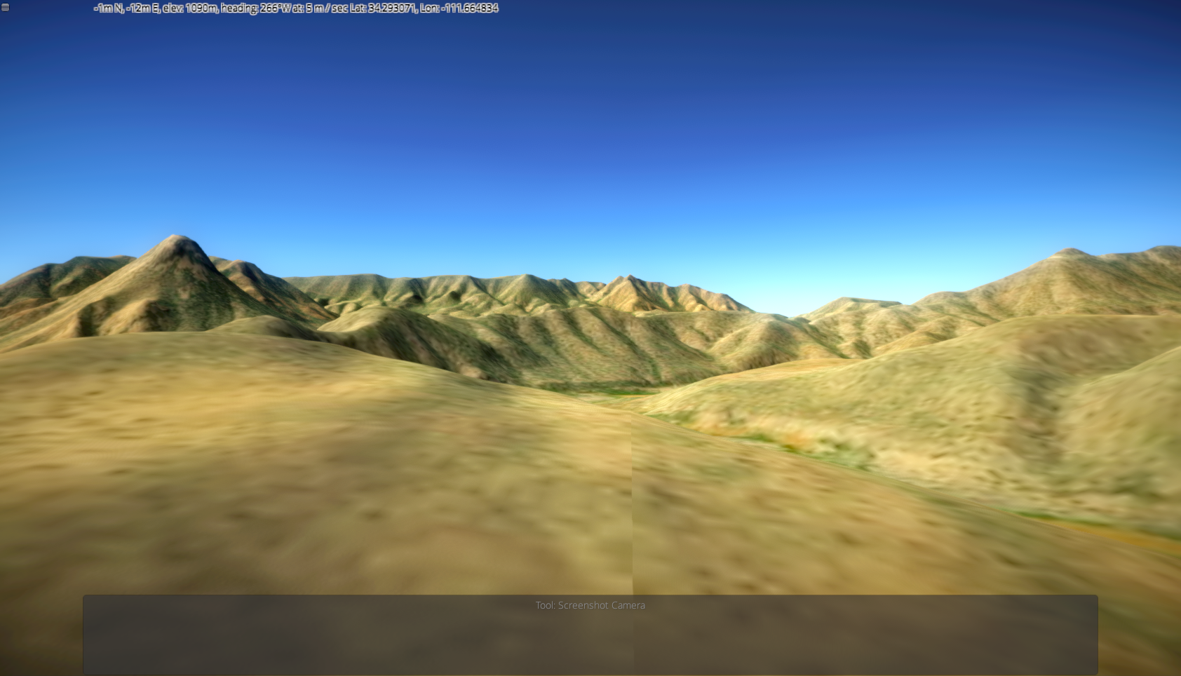
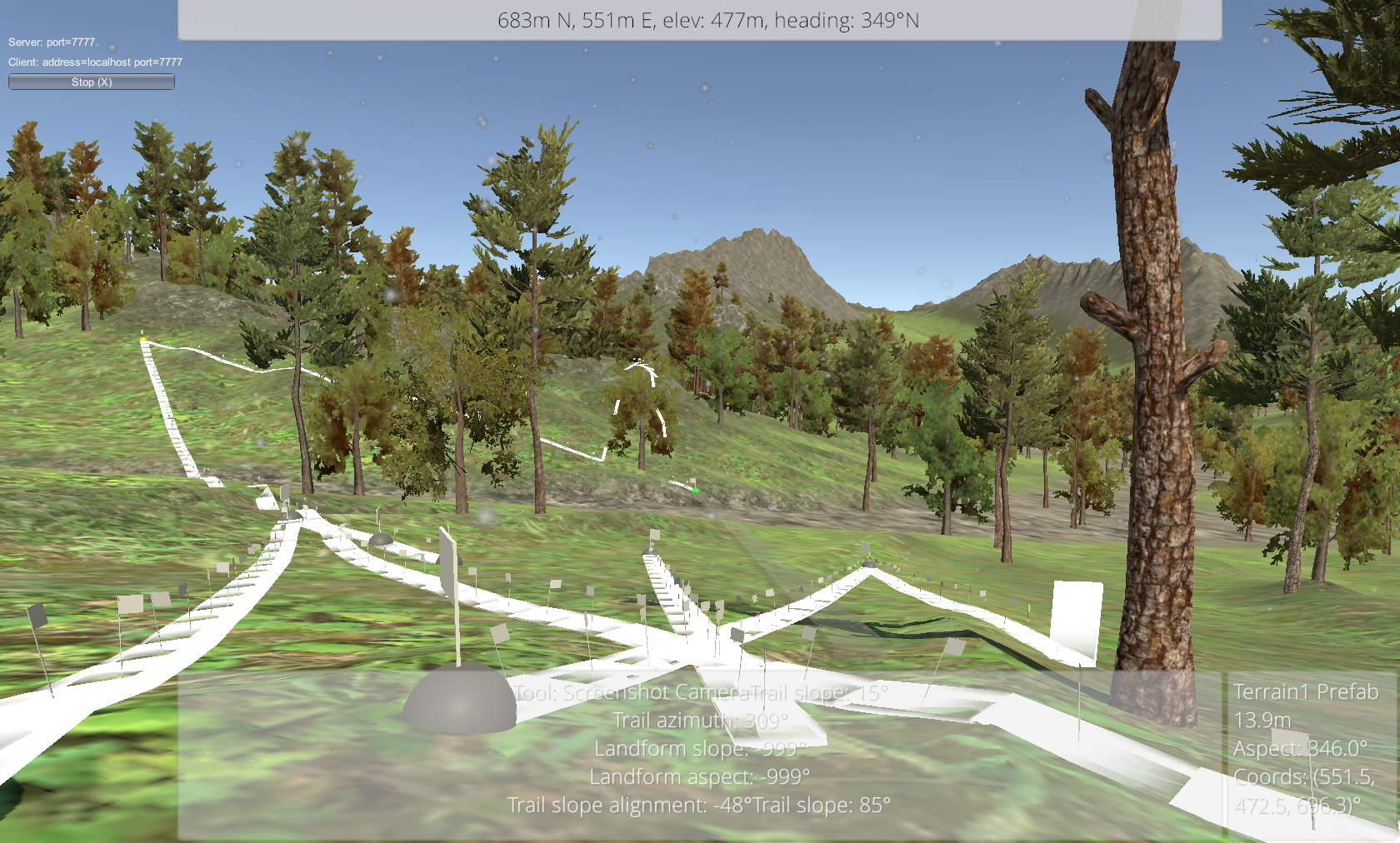
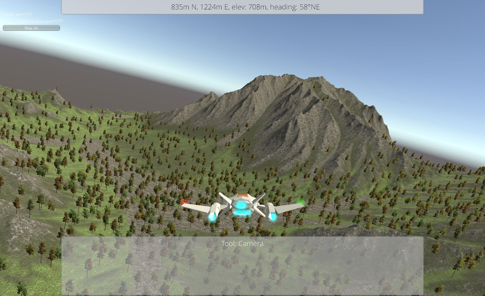
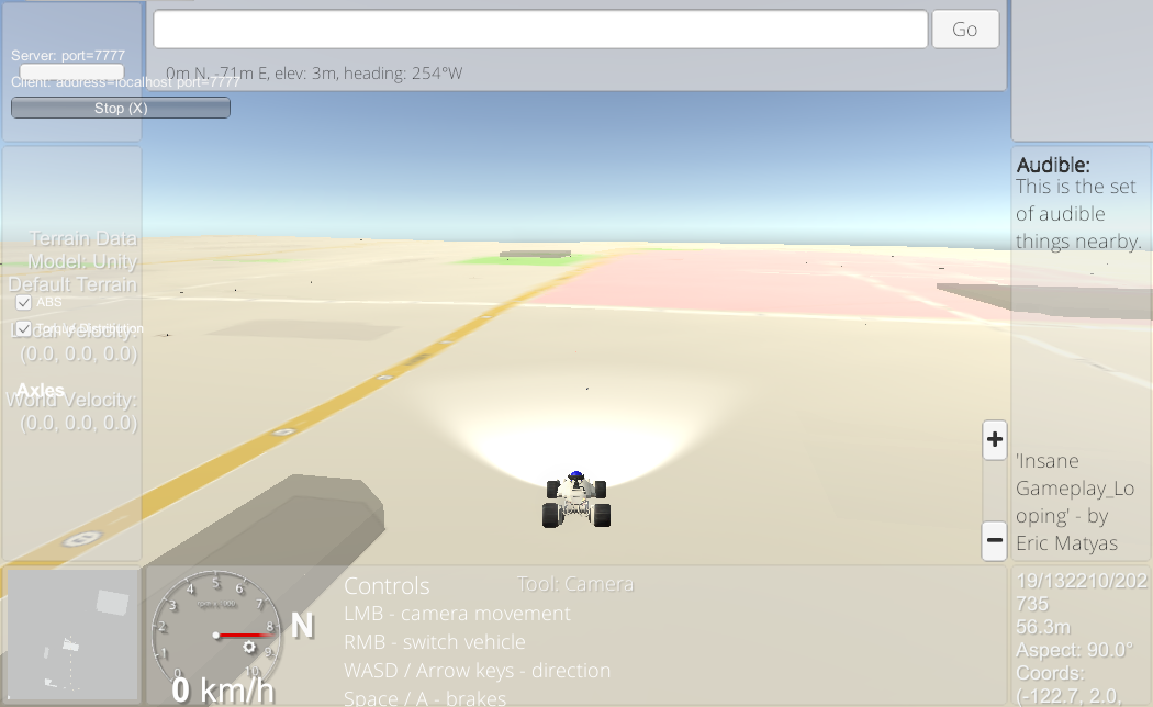
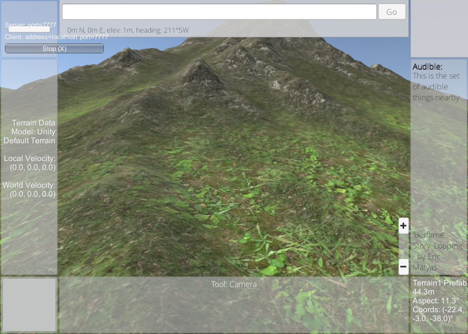
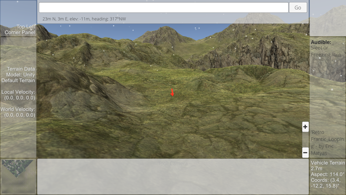
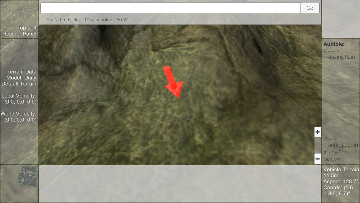
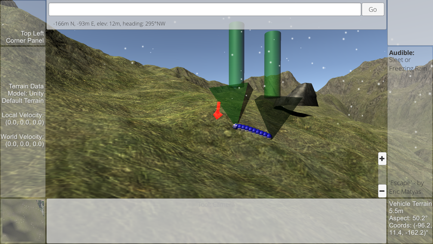
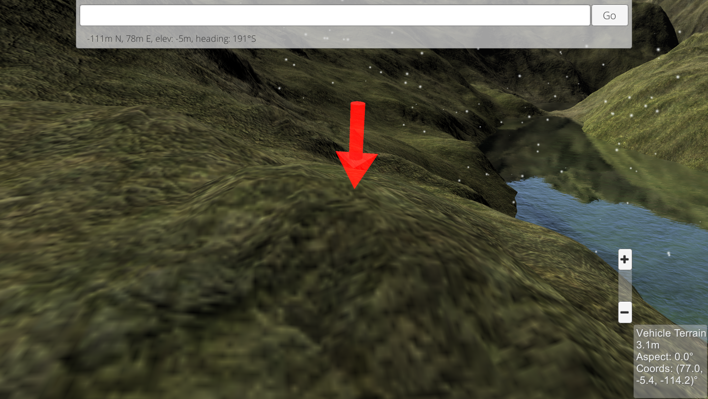
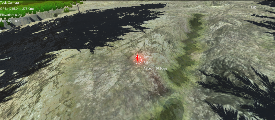
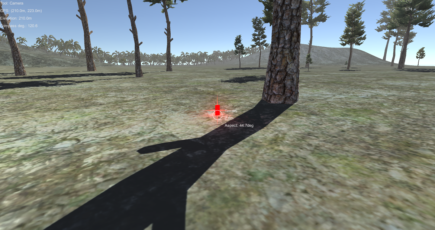
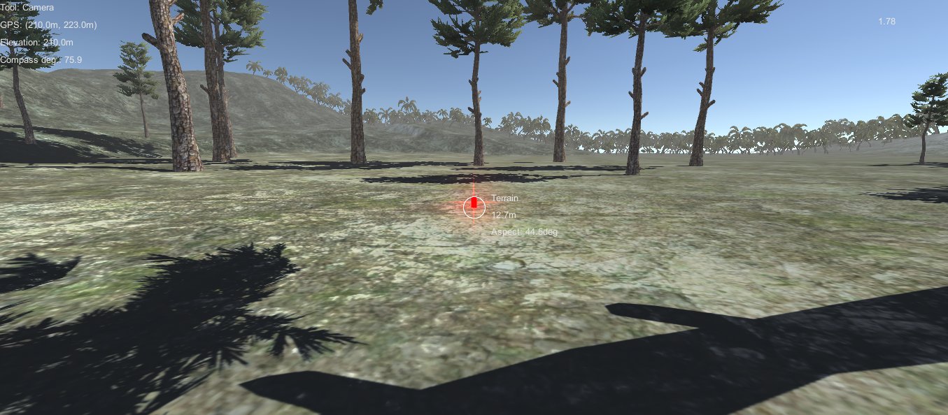
LandCraft is a map simulation app that 'plays' like a first-person perspective game. Use it to explore your world, understand your surroundings, and move around your environment in new ways!
Working on: land use, land cover, ecological sim data layers, wind, weather, 3D buildings, etc.
Move:
Walk, float, fly as a person
Drive a 4WD rover
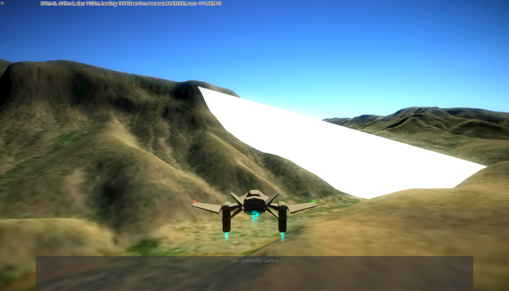
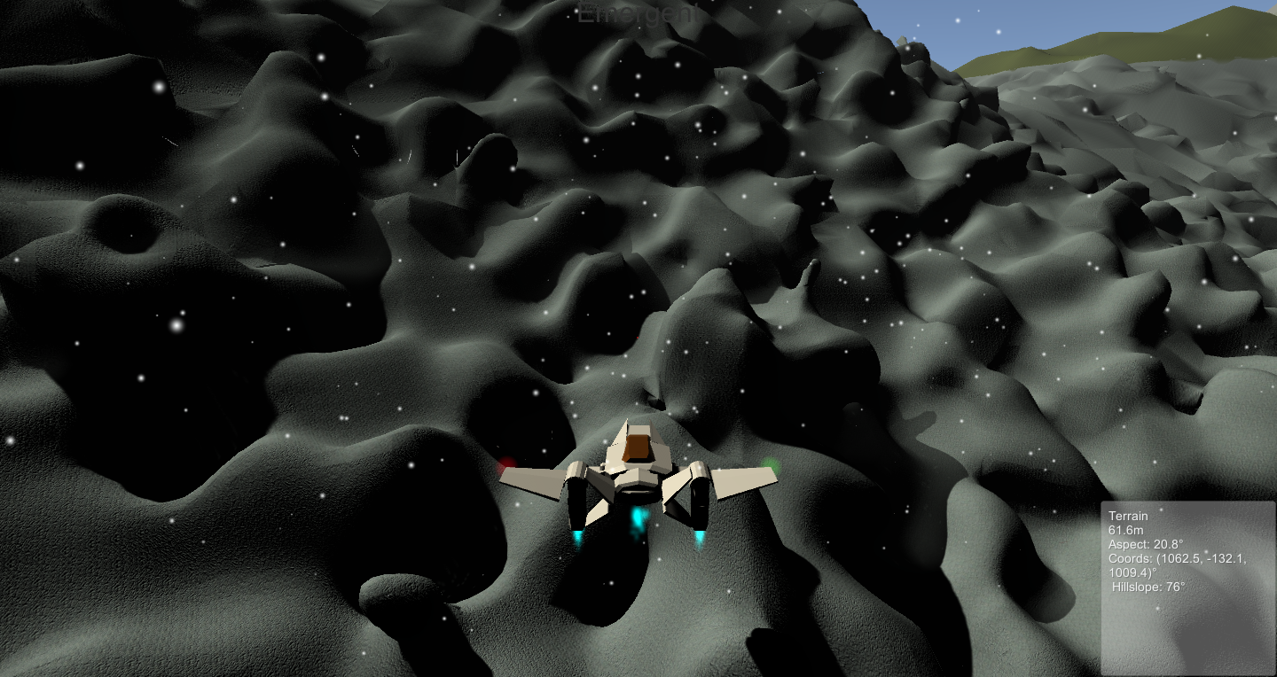
Fly in a jet, fly in a hoverjet (VTOL)
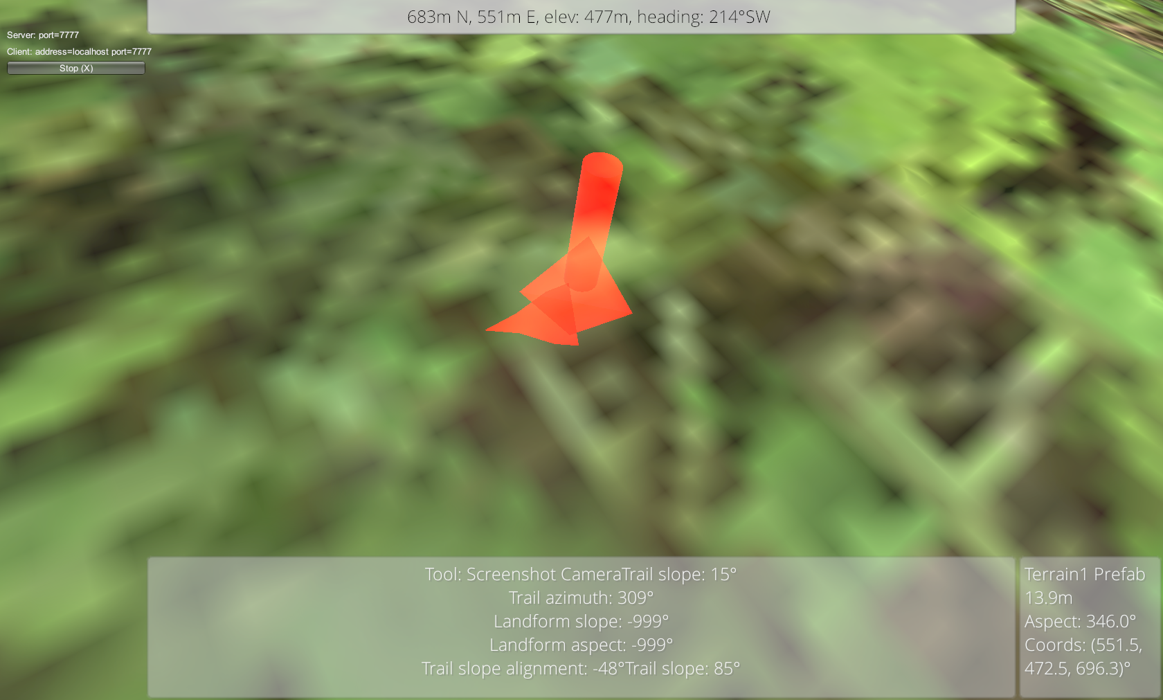
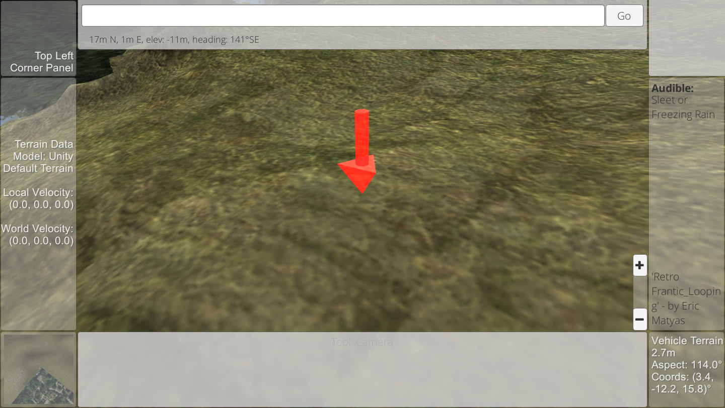
Create, survey, and measure features & places on your map:
Create features
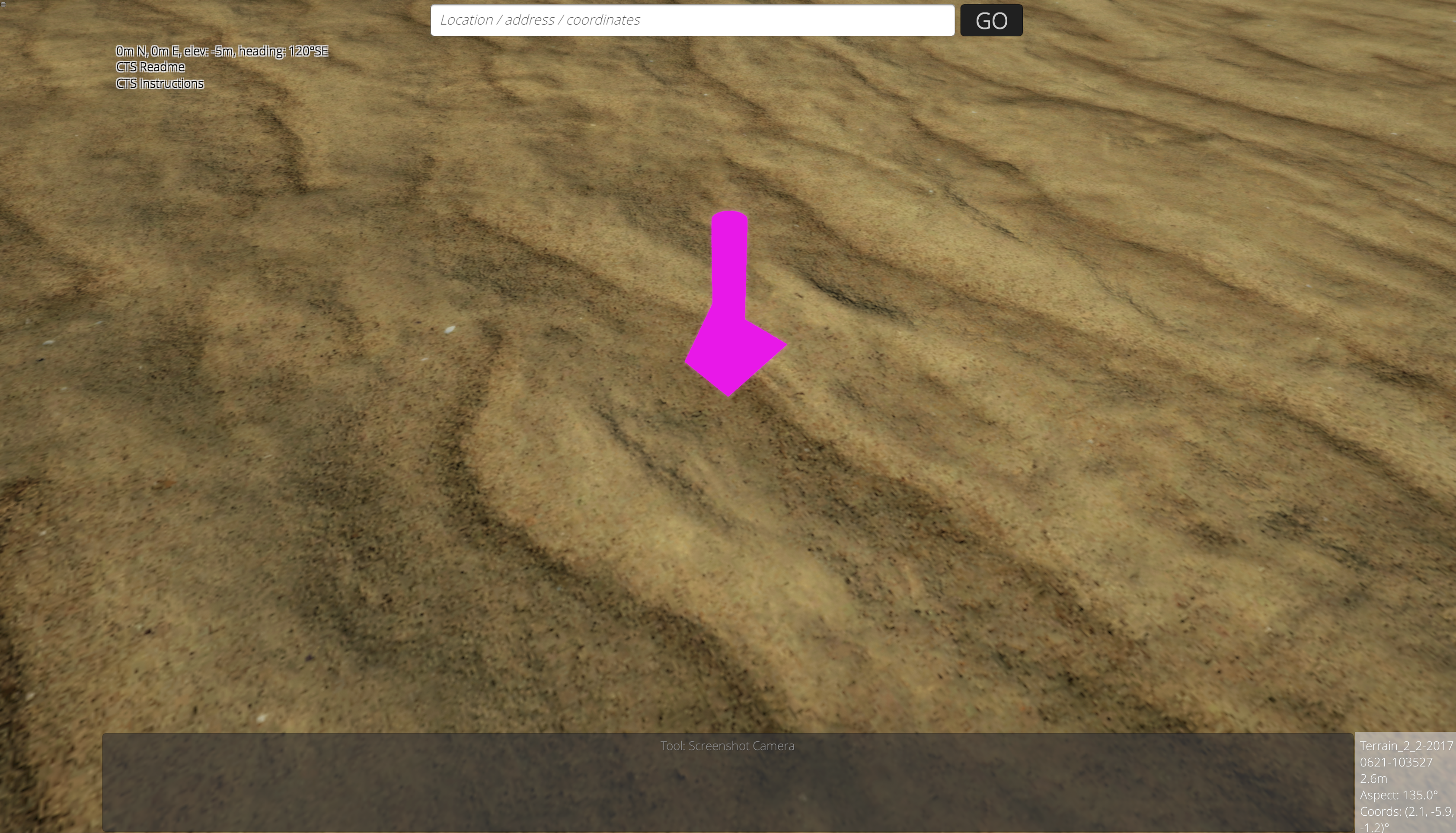
Point features
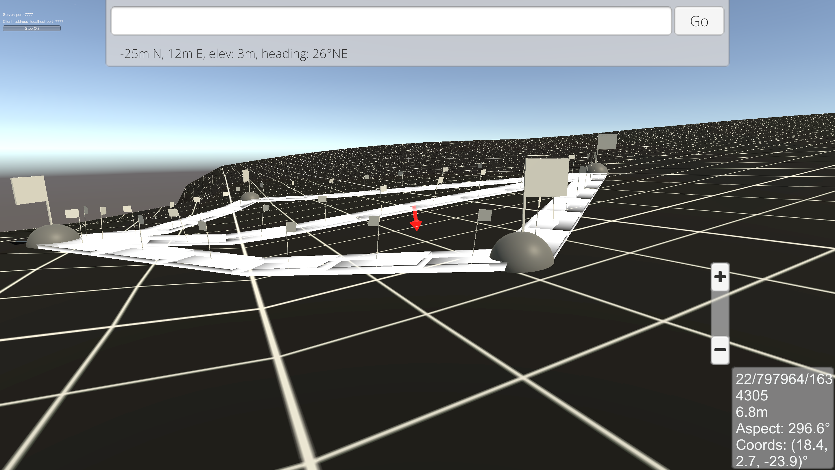
Polyline features
Polygon (area) features
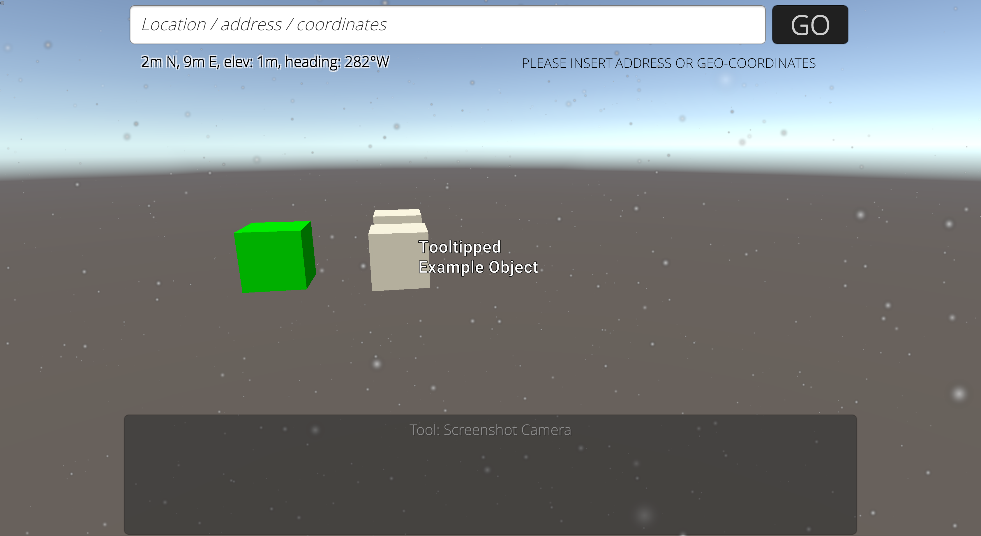
Place objects:
Rocks
Trees
Outdoor features like park benches
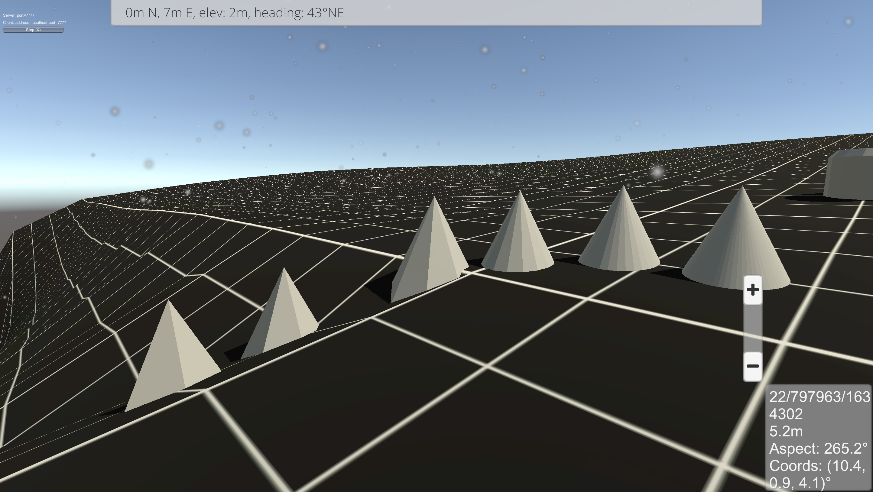
3D shapes
Geometric primitives
Survey and measure:
Location coordinates as latitude + longitude
Lengths and distances
2D and 3D areas
Cross-sectional areas
Always working on more ways to interact and simulate:
We're hammering away at:
the server infrastructure for multi-user maps where you can live interact with others and collaborate.
User-provided arbitrary data layers like point clouds, high resolution elevation models, imagery, and data layers.
We're also adding a variety of live simulations so you can better plan for natural disasters like wildfires, windstorms, hurricanes, and floods around your home or business.
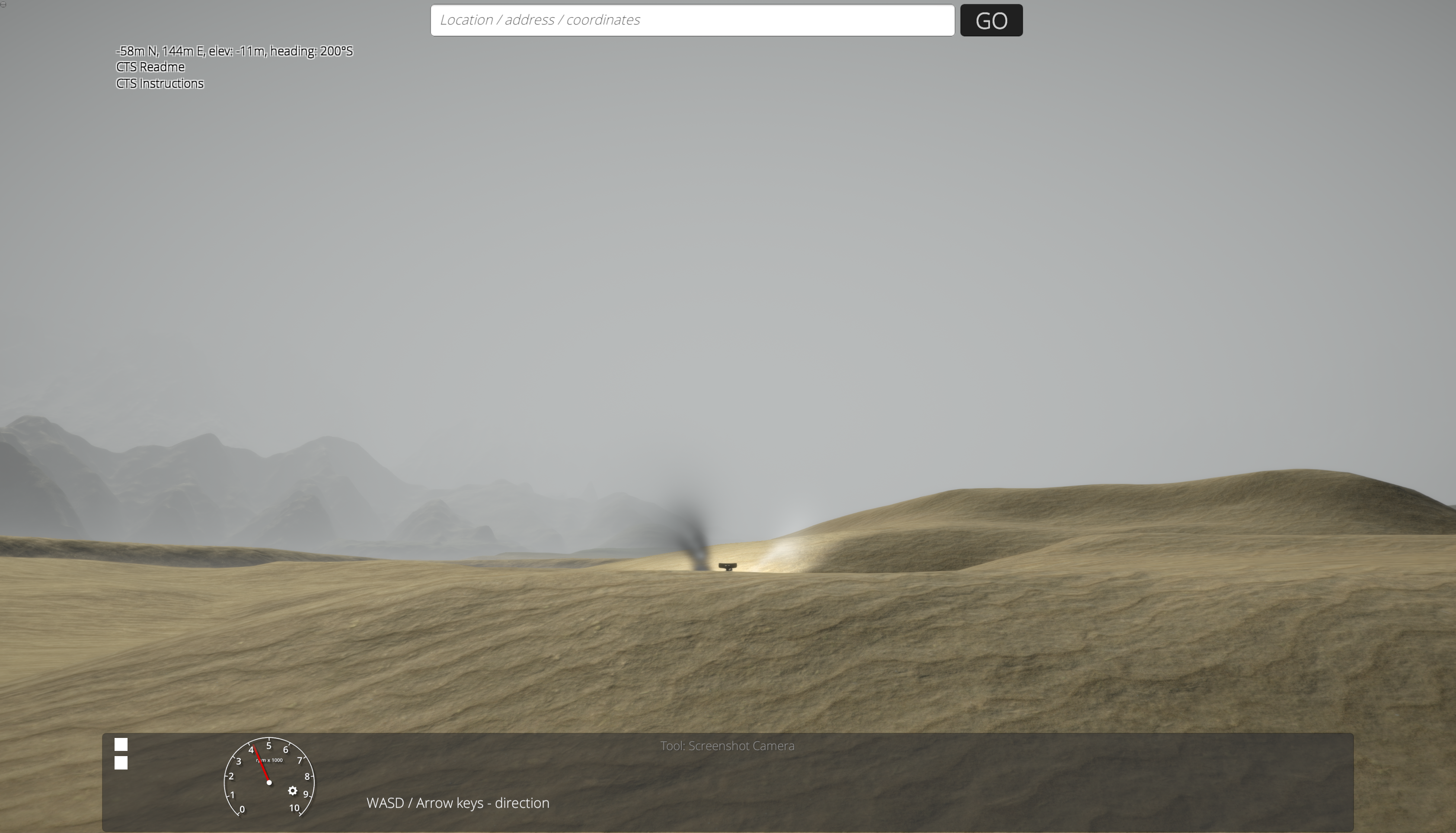
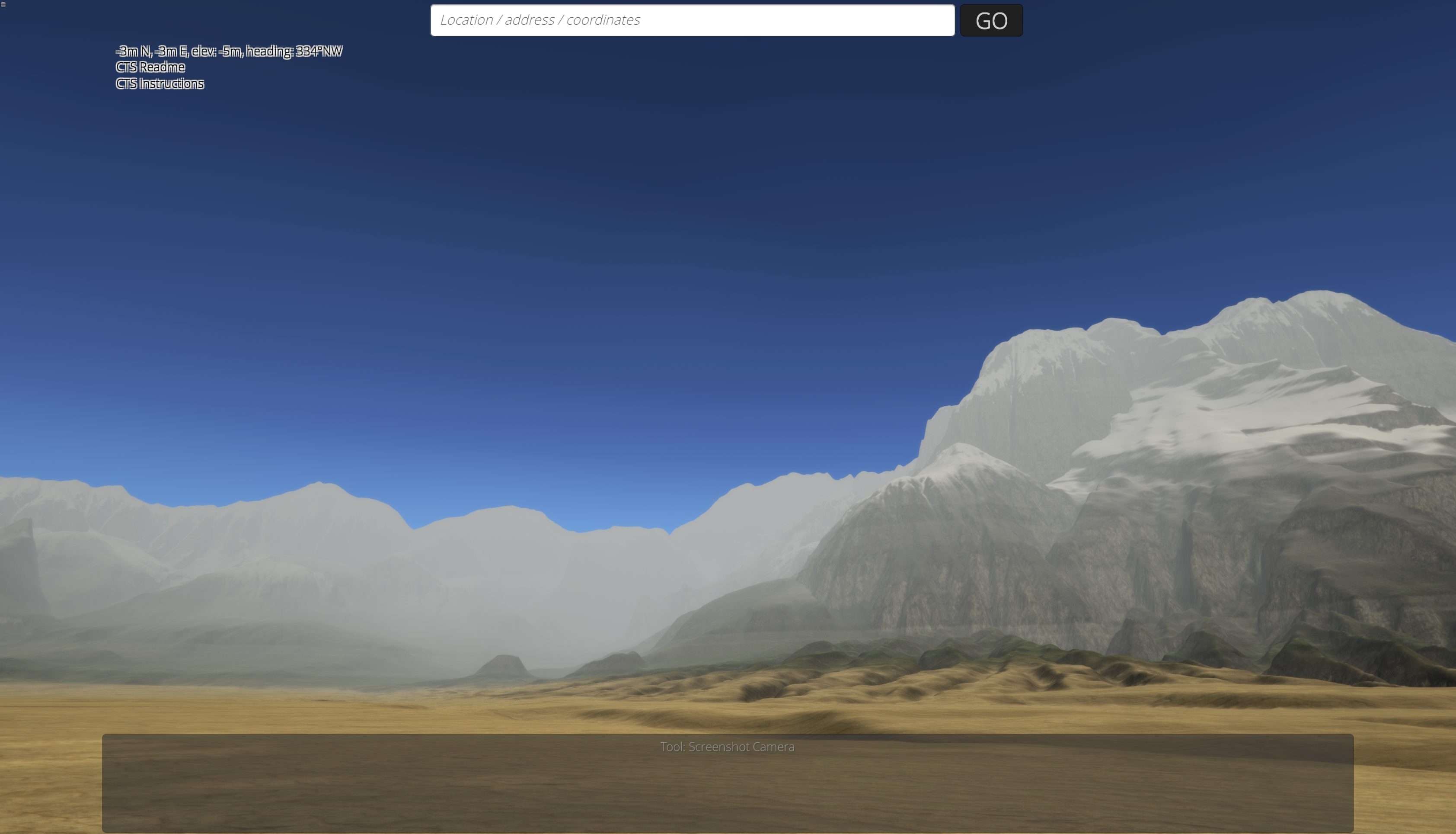
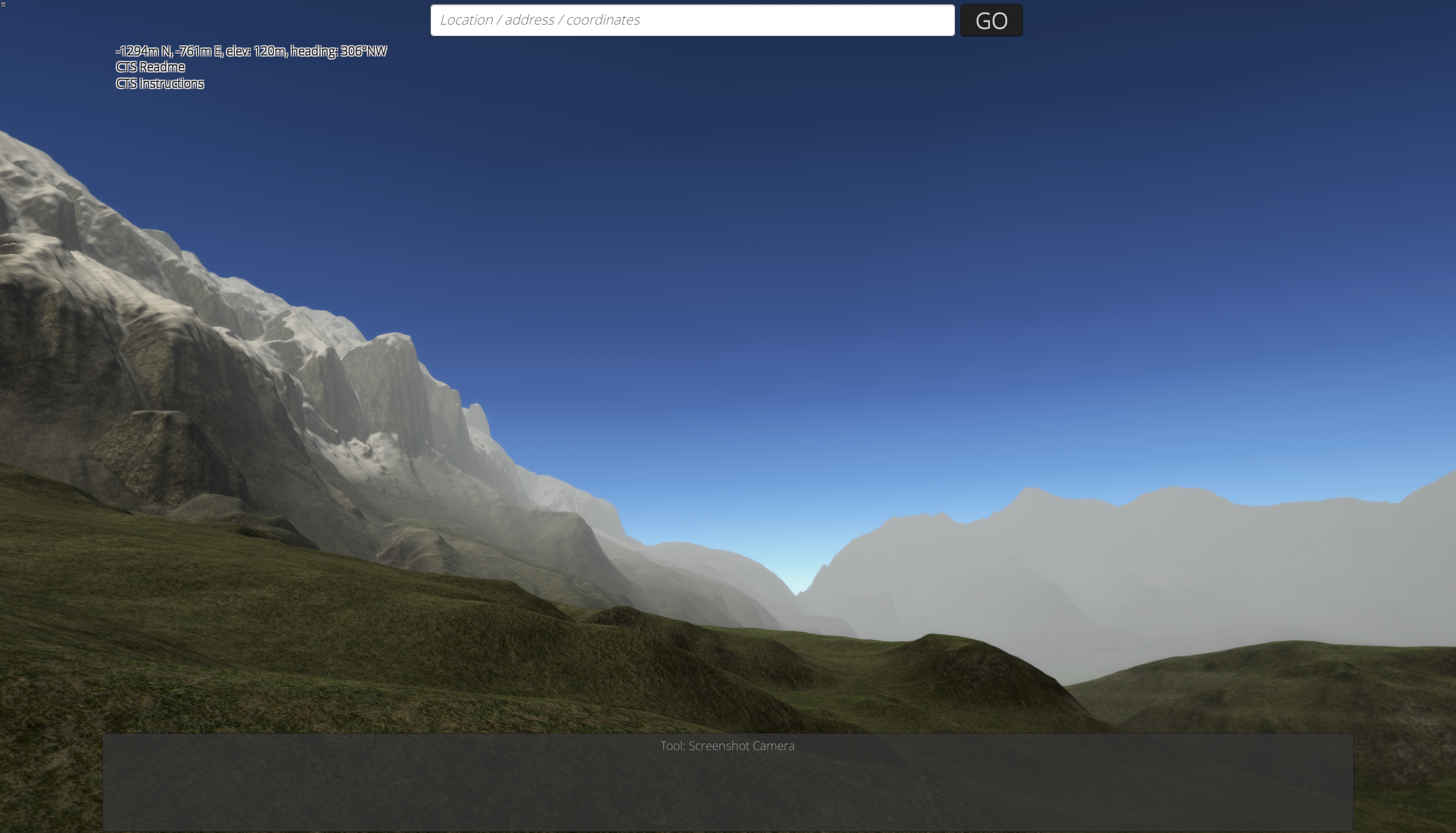
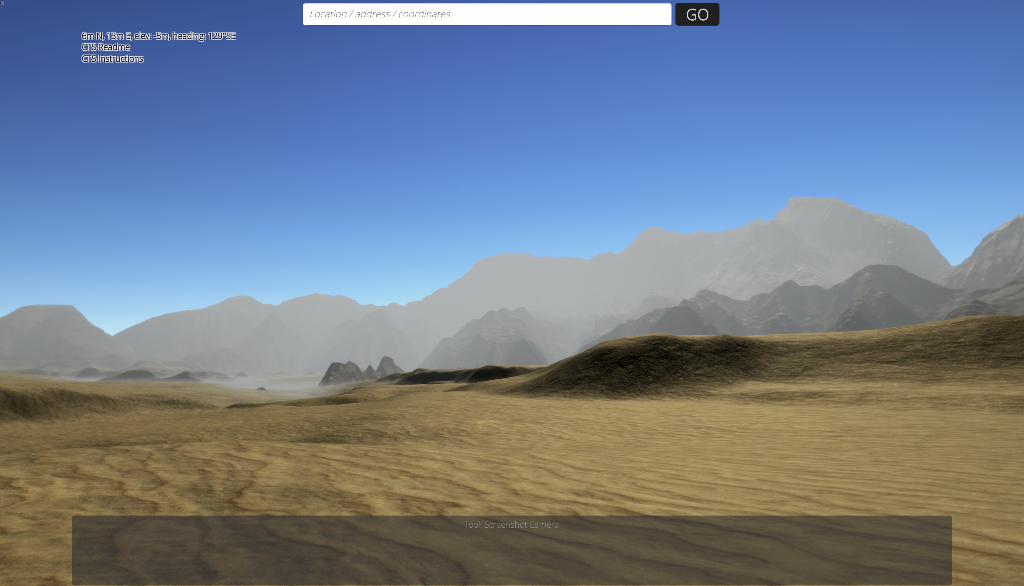
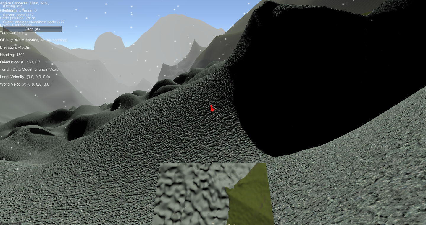
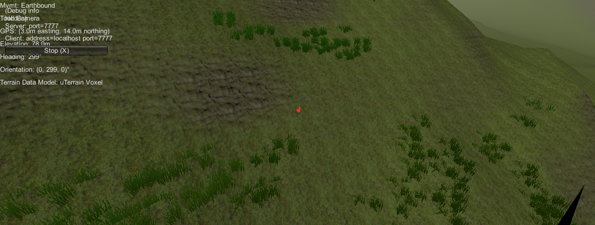
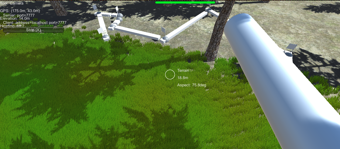
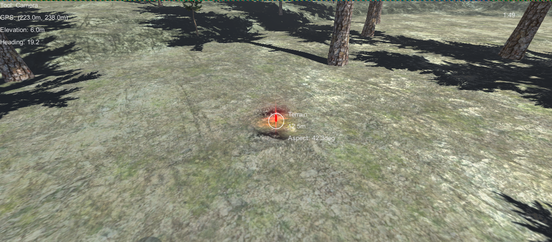
Recent Screenshots and Videos
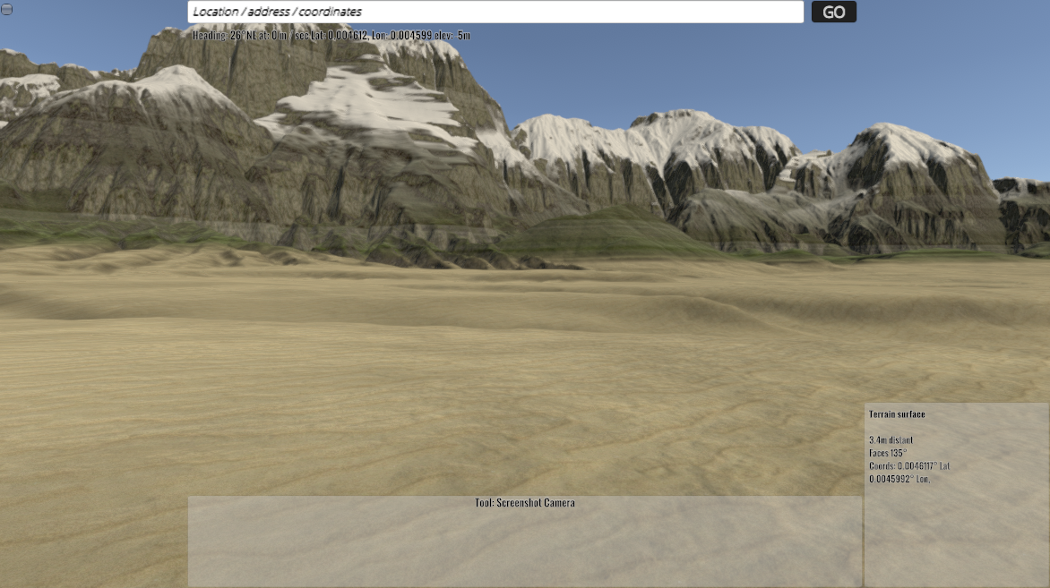
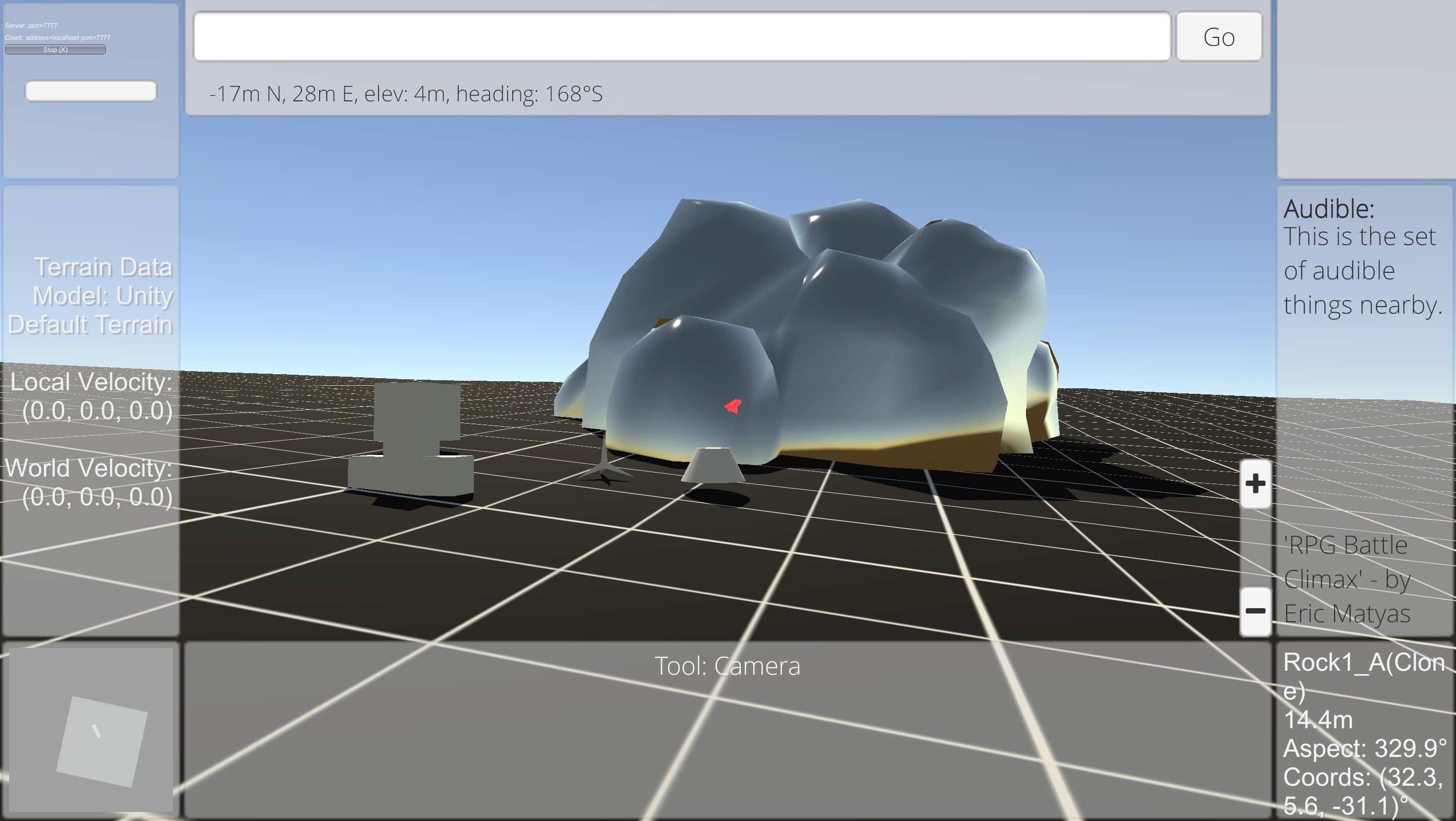
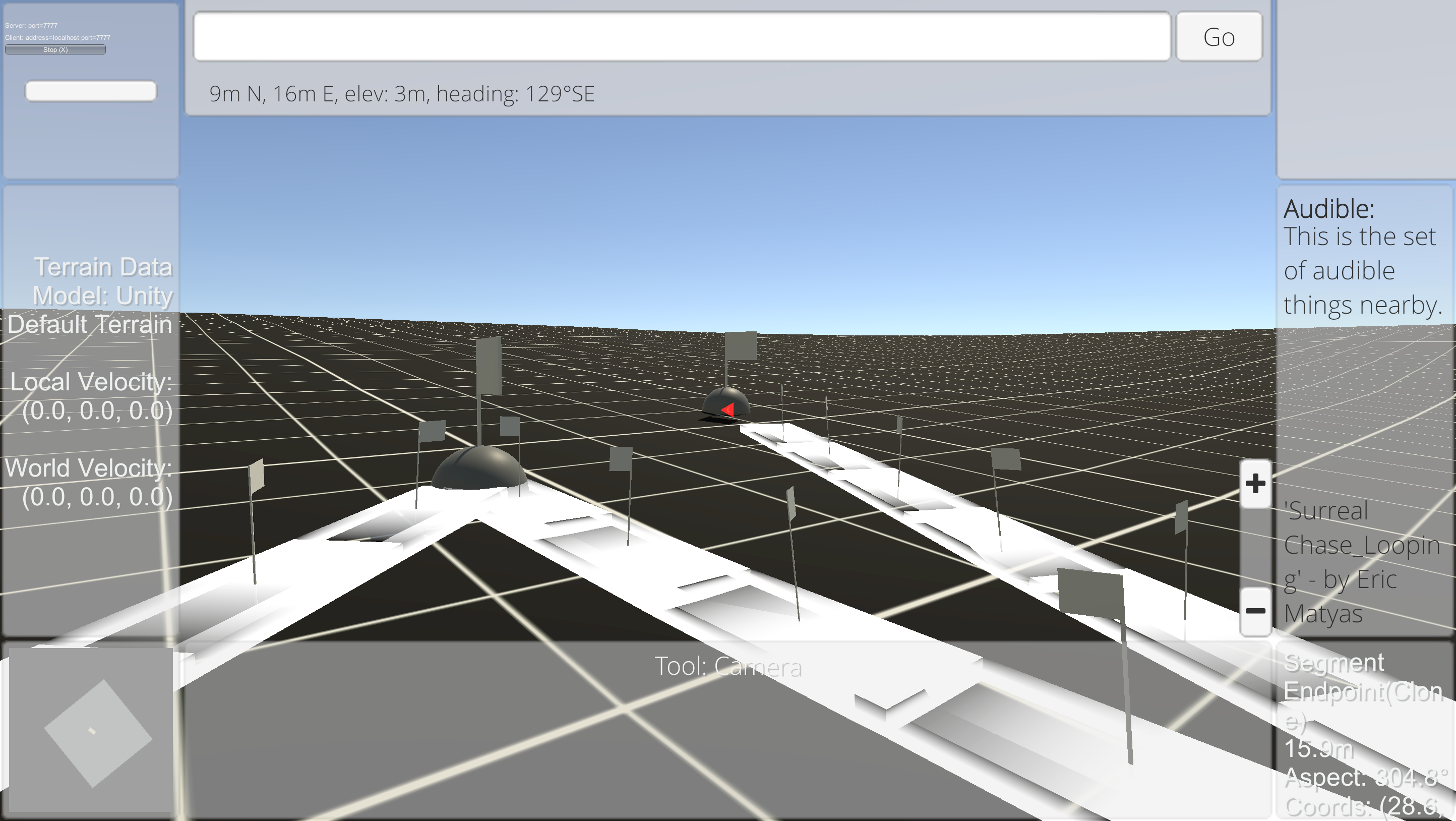
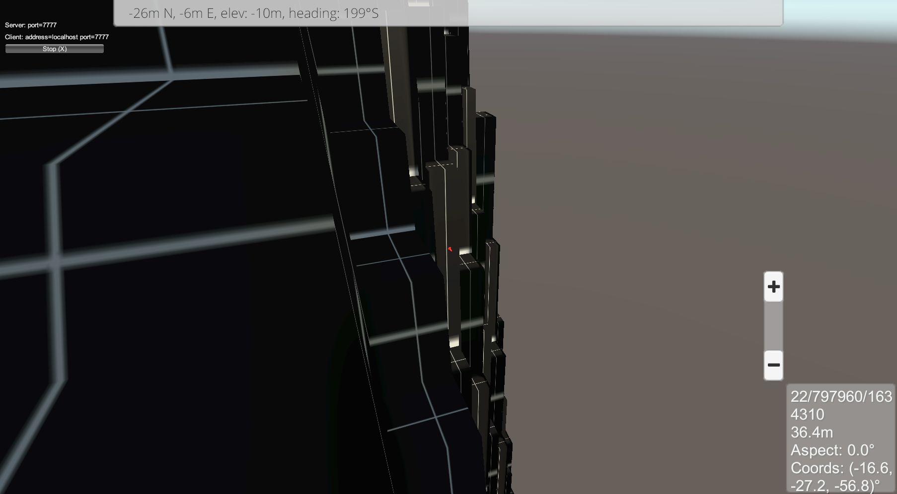
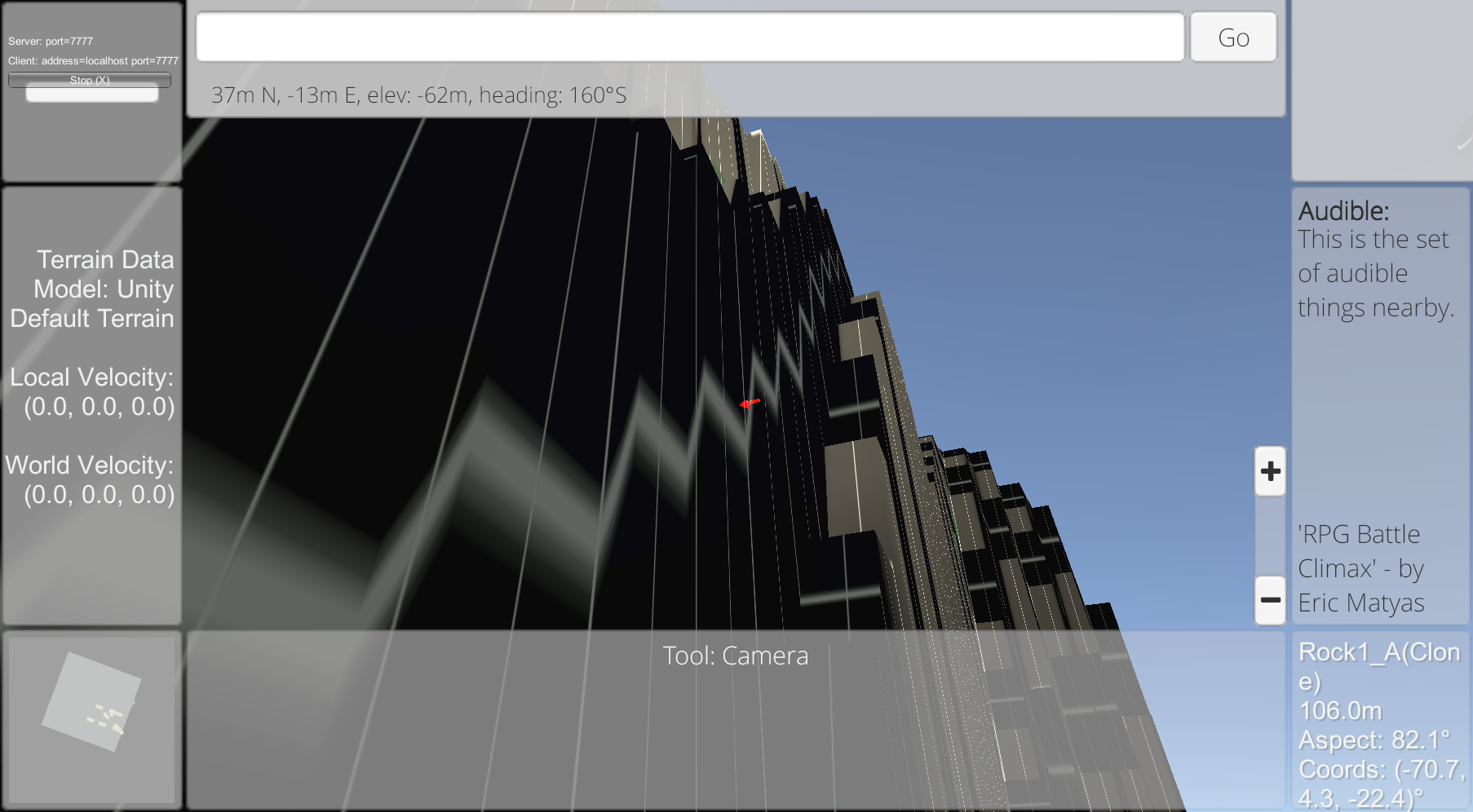
Screenshot 2024-11-12 at 6.33.29 PMScreenshot 2024-11-12 at 1.54.53 PMLandCraft_2025-09-15-14-13-09-PMLandCraft_2024-11-12-18-33-41-PMLandCraft_2024-11-12-18-30-51-PMLandCraft_2024-11-12-16-43-50-PMLandCraft_2024-11-12-15-36-32-PMLandCraft_2024-11-12-13-58-56-PMLandCraft_2024-11-12-13-54-52-PMLandCraft_2024-11-12-13-52-07-PMLandCraft_2024-11-12-13-38-11-PM